
Grottes et karsts de Chine
Sur les traces de Xu Xiake
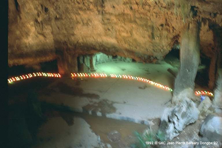
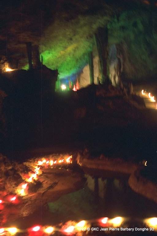
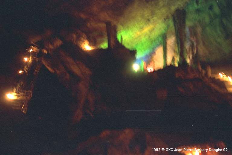
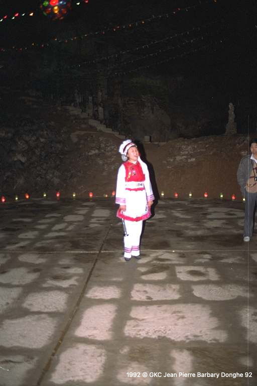
 Jiutiandong - 九天洞
Détail2/01/2025 8:50
Province, Préfecture, District :
Hunan 湖南省, Zhangjiajie Shi 张家界市, Sangzhi 桑植县
Latitude Nord - Longitude Est :
29.32652 - 110.114871
Altitude (m) : 380
Développement (m) : 5 726
Profondeur (m) :
Profondeur - / + (m) : 0 /
Volume (m3) :
Géologie : Permien
Carte
Description 0
Bibliographie 3
MEUS, P. (1989) : Chine. -
Spelunca no 33 : 12 (1 phot.)
Information sur les principales découvertes des spéléologues belges de la Belgian Chinese Karst and Caves Association. (RL)
Source : BBS
BELGIAN-CHINESE KARST AND CAVES ASSOCIATION (1990): Teng Long Dong, the Longest cave of China, report on the First Belgian-Chinese Speleological Expedition in 1988.-
(s.l.): J. Masschelein and Zhang Shouyue editors - 46p. (14 fig. et plans, photos couleur) (en angl.).
Climat et géomorphologie de la région de Lichuan, l'exploration de Teng Long Dong, les recherches scientifiques en grottes, appendice: quelques notes sur la région de Wufeng et Jiutian Dong (Hunan). (DU)
Source : BBS
ZHANG, Shouyue (1993): Grand caves of China.-
Proceedings XI Intern. Congress of Speleology, 2nd-8th August 1993, Beijing 1993: 236-237 (3 tab.) (chines. summ.).
Lists 21 caves with more than 200 m in elevation (Zhaidong -552 m; Gebihe -445 m, Wuajidong -430 m etc.); and 19 caves with more than 4,8 km in length (Tenglongdong 33,52 km; Duobingdong 17,2 km; Baimodong 13,7 km etc.). (RB).
Source : BBS
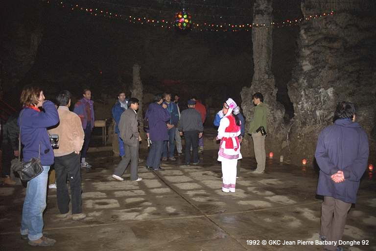
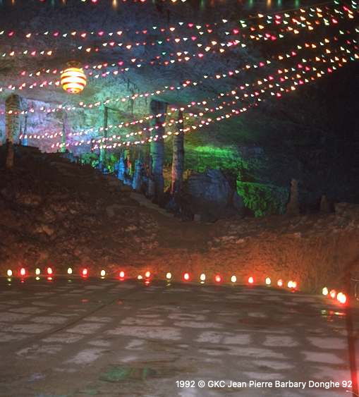
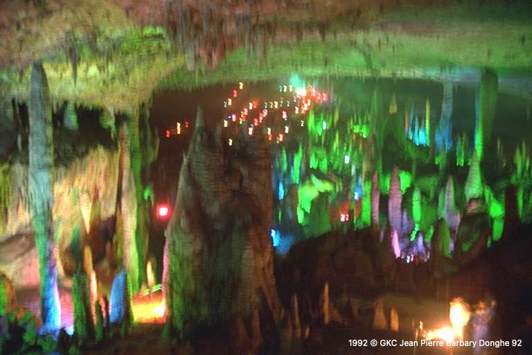
Images 8
Topographie 1

Source : BCKCA-ASIG
Expédition 1
Cette grotte a été identifiée ou explorée au minimum par cette (ces) expédition (s) :
Recherche